Skip to Main Content
fiofoto.com

peter john . documents

  • ABOUT
    • Copyright & Licensing
    • Privacy Policy
    • Terms & Conditions
  • CONTACT
  • RECORDS
    • High Place
    • The Creek
    • Gibbergunyah
    • Reportage
      • Koori Flag Raise, Gibbergunyah
      • Last Parade
  • PRINTS
    • SHOP | BUY A PRINT
  • LOGIN
  • ABOUT
    • Copyright & Licensing
    • Privacy Policy
    • Terms & Conditions
  • CONTACT
  • RECORDS
    • High Place
    • The Creek
    • Gibbergunyah
    • Reportage
      • Koori Flag Raise, Gibbergunyah
      • Last Parade
  • PRINTS
    • SHOP | BUY A PRINT
  • LOGIN

The Creek

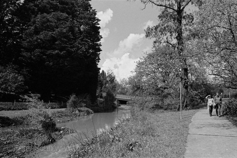
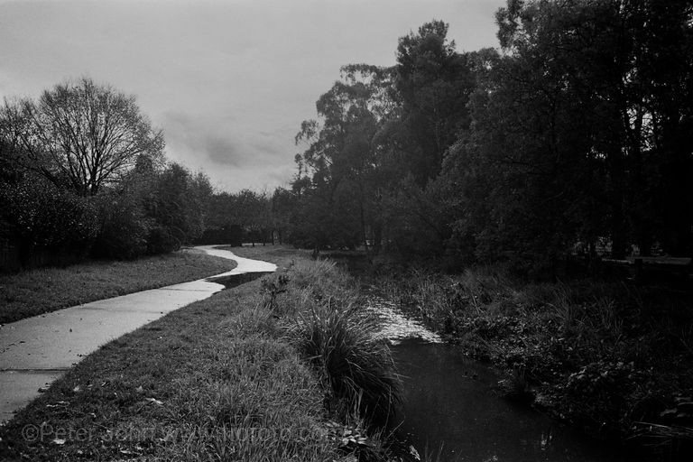
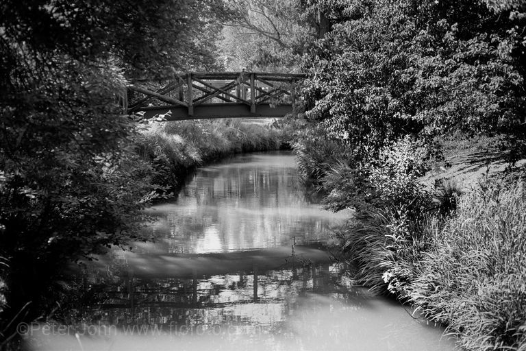
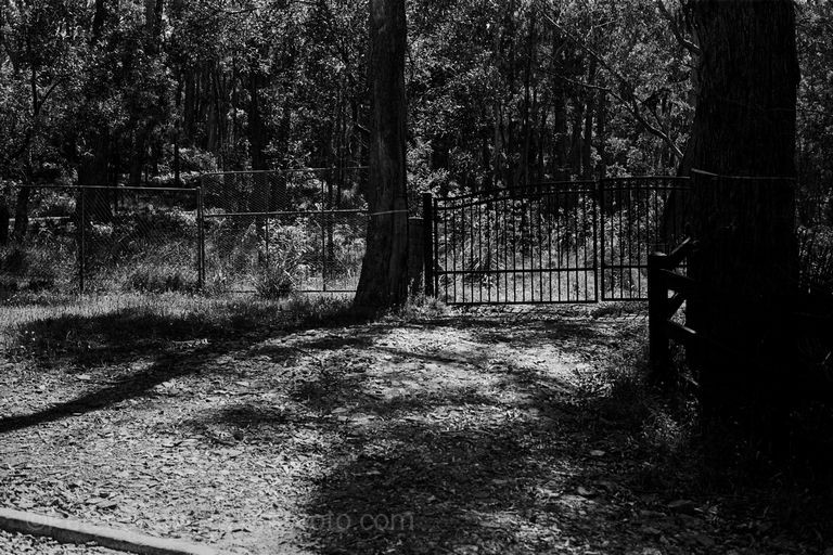
Based on the map, Mittagong Creek flows from behind locked gates somewhere east of Bowral near Mansfield Reserve and has a life unacknowledged for much of its length before flowing into the Wingecarribee River to the west of Bowral.

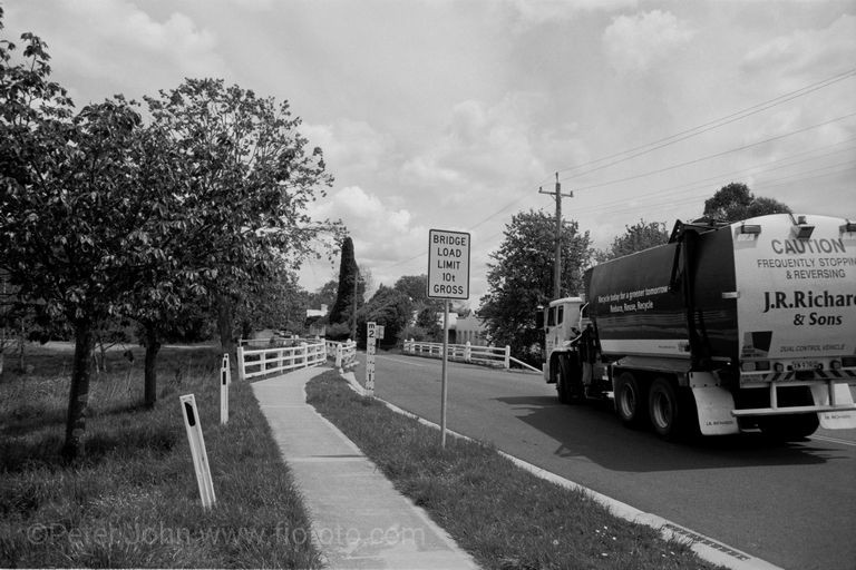
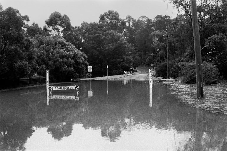
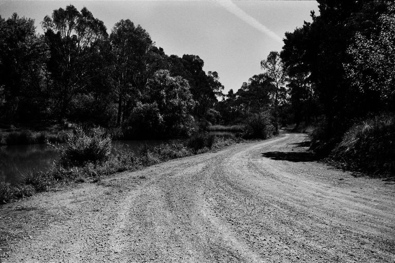
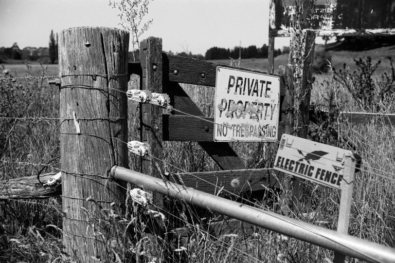
Between those points it transits suburban streets, flows beneath numerous bridges, passes through industrial zones and across privately owned lands relentlessly heading westward.

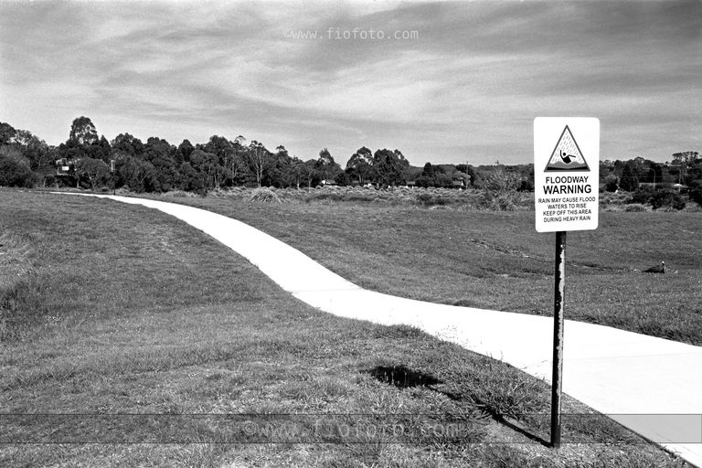
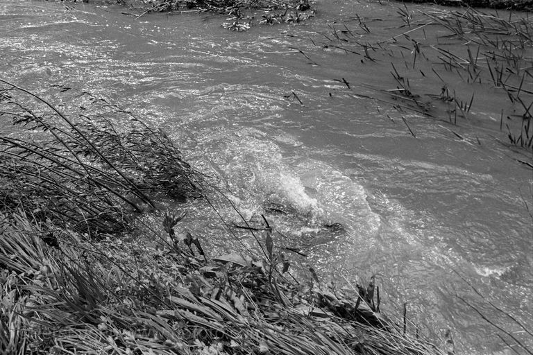
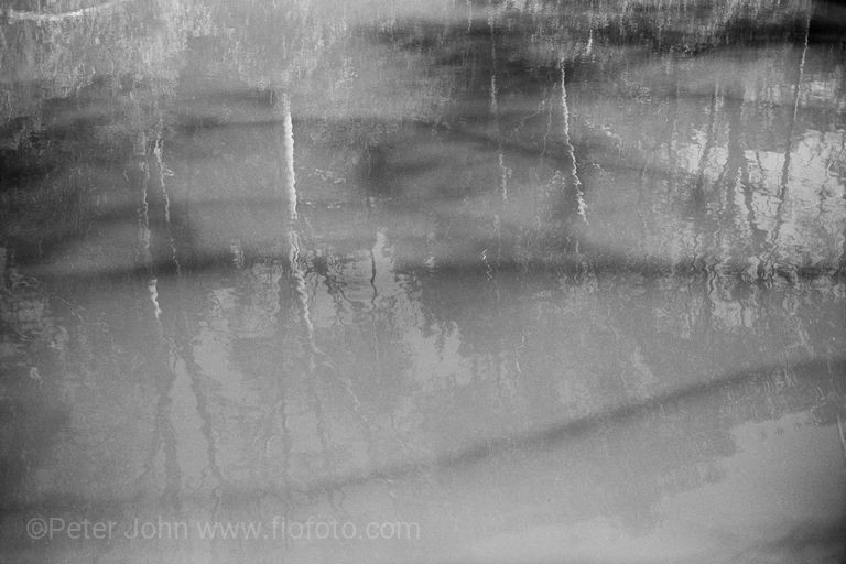
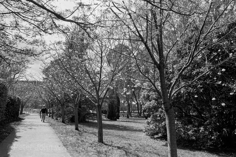
A small selection of images from the much larger series forming the “The Creek” project.
27 May 2026

Creek #01

by fiofoto | posted in: The Creek | 0
  • images shows sunlit gate amongst trees and shadows
mittagong creek, creek

Record Categories

  • High Place
    • Gibbergunyah
  • Reportage

  • Bluesky
  • Shop
  • T&C
  • Index
  • Login

© 1999 - 2026 fiofoto.com & Peter John, All Rights Reserved

error: Content is protected!
  • Login
  • Sign Up
Forgot Password?
Lost your password? Please enter your username or email address. You will receive a link to create a new password via email.
body::-webkit-scrollbar { width: 7px; }body::-webkit-scrollbar-track { border-radius: 10px; background: #f0f0f0; }body::-webkit-scrollbar-thumb { border-radius: 50px; background: #dfdbdb }